What is at stake is whether navies can still guarantee long-duration, wide-area sea control in the Indo-Pacific — and the answer, the source argues, is increasingly “no”: control will be episodic, local and hard-won, with consequences for fleets, commerce and forces ashore.
From continuous sea control to episodic, local control
The old assumption — that superior ships, aircraft and seamanship could buy sustained dominance over wide ocean areas — is being hollowed out by a new combination of surveillance, drones and precision strike. Geography still matters, but those same coastal features now compress manoeuvre space, shorten warning time and make maritime operations more exposed and risky. The result is not permanent hegemony over a sea, the source says, but intermittent windows in which a force can gain enough superiority to move convoys, resupply task groups, support landings or cover withdrawals.
Wide-area maritime surveillance: visibility that is partial, not total
Surveillance at sea is expanding rapidly. Satellite constellations, analysis of ship transponder emissions, commercial synthetic-aperture radar, underwater microphones, seabed sensors and drones make detecting and tracking activity easier. Yet the ocean is not becoming fully transparent: in the Indo‑Pacific, vast distances, archipelagic terrain, weather and electromagnetic clutter mean the maritime picture remains spurious, contested and temporary. That partial transparency, the source stresses, is nevertheless decisive because navies must now assume they can be intermittently seen, classified and targeted — especially inside the first island chain and the sea and air corridors linking the western Pacific to the eastern Indian Ocean.

Audit-ready is a season. It shouldn't be.
Evidence in spreadsheets, controls drifting between audits, frameworks multiplying on flat headcount. Nubivance runs continuous compliance on Rapid7 Cyber GRC - SOC 2, HIPAA, ISO 27001, PCI, CMMC.
End the scrambleAir littoral, drones and the creation of maritime killing zones
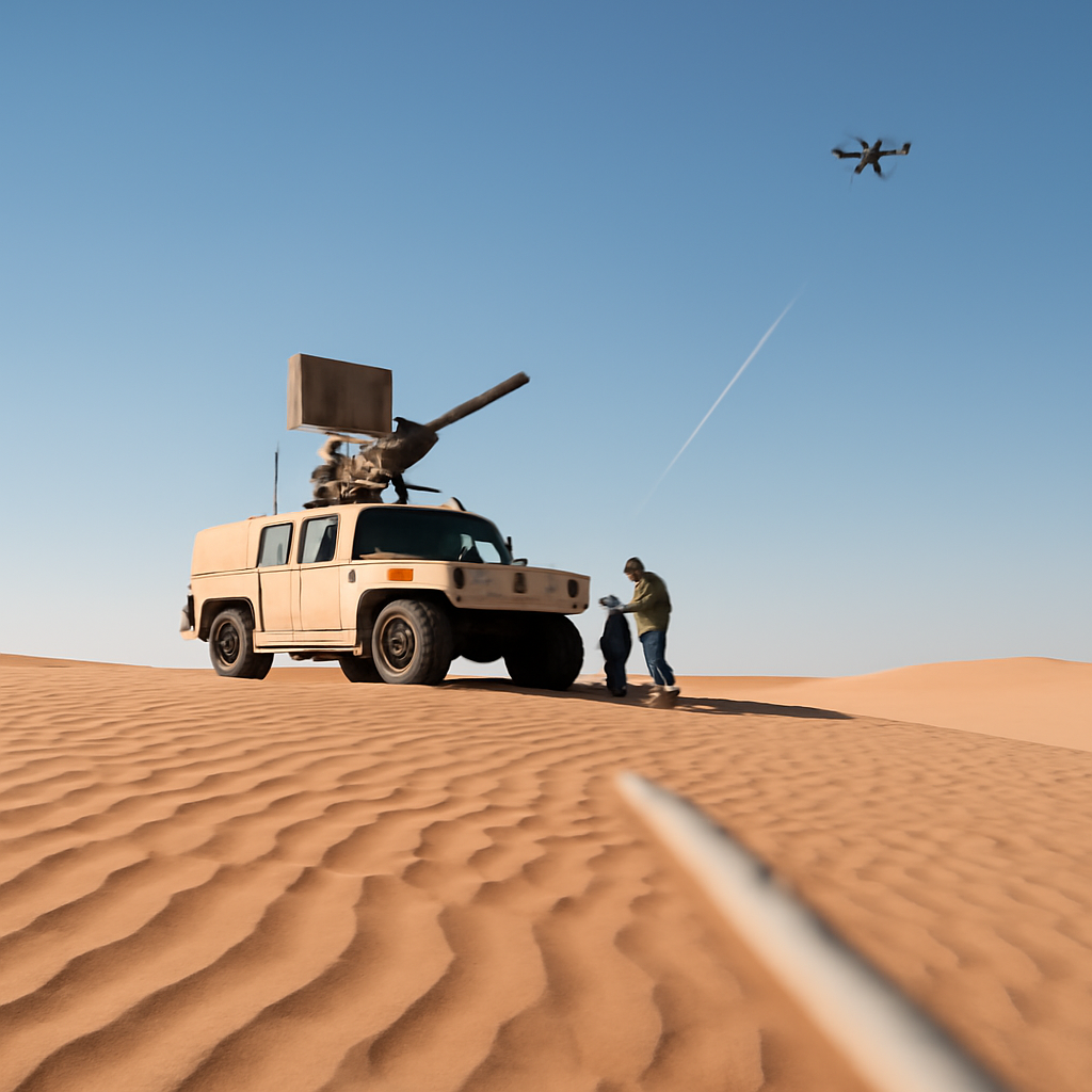
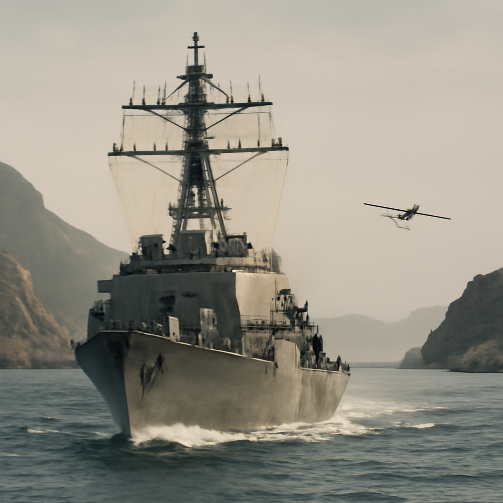
The air littoral is extending further offshore as low‑flying drones and loitering munitions make nearby seas more hazardous for concentrated fleets. In narrow seas, chokepoints and congested routes where geography channels movement, these systems help create maritime killing zones that favour forces operating from shore. The source explicitly links this dynamic to potential conflicts over Taiwan and to strategic bottlenecks such as the Luzon Strait, the South China Sea and the Malacca–Singapore corridor, where congestion can turn tactical friction into operational delay.
Affordable unmanned systems, attrition belts and countermeasures
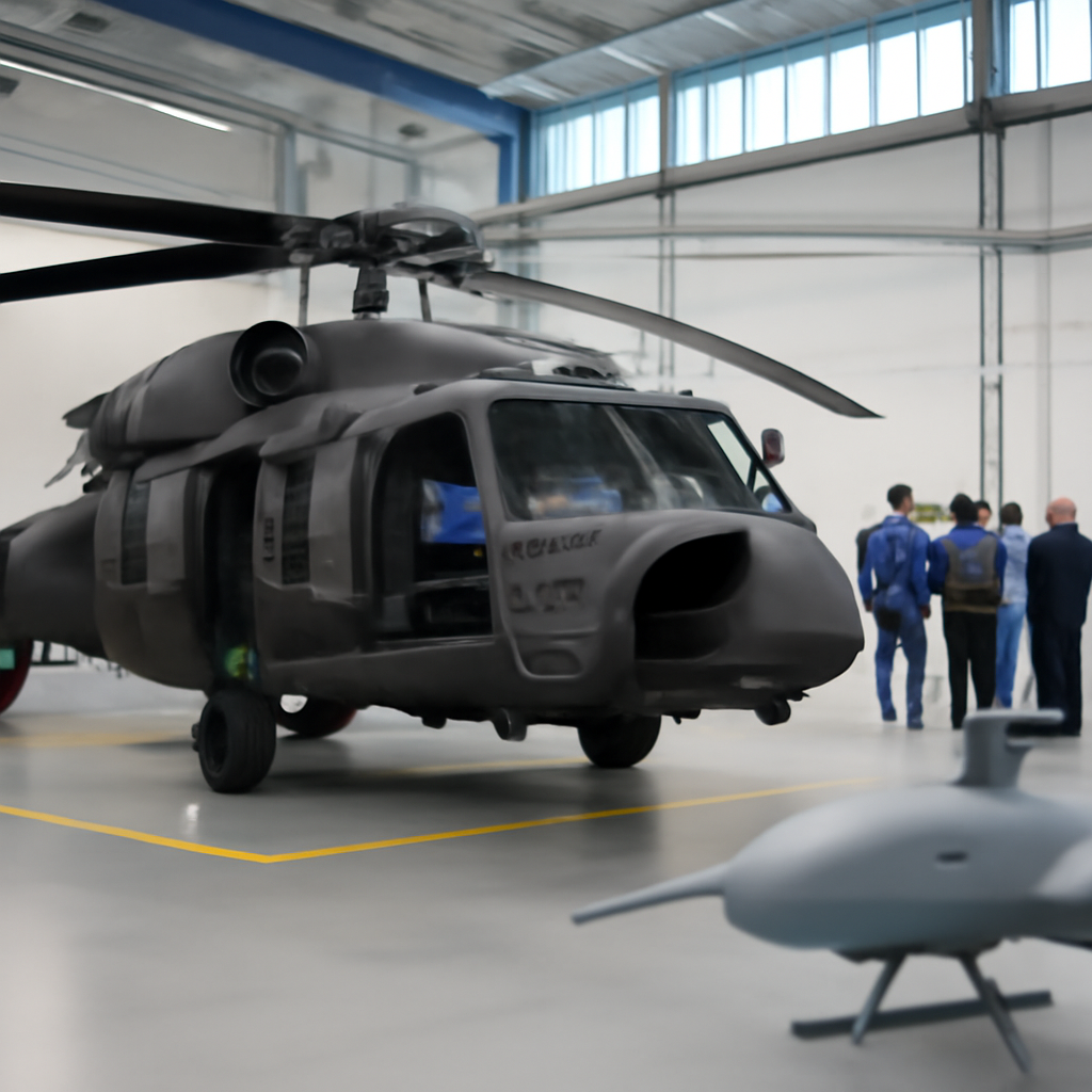
Affordable unmanned aerial and surface systems raise the pressure further. When used in numbers and tied to shore‑based precision weapons, they can form attrition belts that complicate amphibious operations, port access and logistics movement. Countermeasures — electromagnetic warfare, decoys, short‑range defensive guns and missiles, and laser or microwave weapons — exist but offer no permanent fix. The contest will be iterative and unforgiving, and the advantage will be temporary for the side that adapts faster, reduces detectability and better integrates sensors, weapons and deception.
What this means for policymakers, naval planners, and insurers
- Policymakers: They will need to weigh investments in resilient sensing, communications, industrial depth, basing access and the political will to sustain operations — factors the source identifies as prerequisites for projecting power from outside the most threatened areas.
- Naval planners: Surface combatants remain relevant but must operate in more distributed formations, emphasise deception and networking, and secure faster access to rearmament and repair to exploit short windows of superiority.
- Insurers and commercial shippers: With the Indo‑Pacific carrying critical flows of fuel, goods and undersea data cables, any serious conflict would quickly become a struggle over commercial access, shipping security and maritime insurance risk; protecting vital routes, or threatening them, remains central to strategy.
Surface combatants, high‑end missiles and crewed aircraft still matter, but increasingly as elements used from outside the most threatened zones and supported by resilient sensor and logistics chains. The source’s central observation is stark and specific: sea control will often be local, brief and heavily contested, not continuous and unchallenged.
The practical implication is difficult but clear. Naval operations will be measured in windows — times and places where movement can be protected just long enough to achieve an objective — and those windows will have to be created repeatedly. Success will hinge less on building ever‑larger fleets and more on making forces harder to detect, more distributed, faster to recover and better integrated with shore systems. That combination — adaptations to dispersion, deception, sensing and sustainment — will decide who can use the sea where and when it matters, and who cannot.