What happens when the invisible signals that steer nearly every element of the modern battlefield go dark? That scenario is no longer hypothetical. Position, navigation, and timing (PNT) systems must function whether satellites are available or jammed, and inertial measurement units are increasingly the last line of defense when external signals fail. As recent reporting shows, roughly 300,000 IMUs have been deployed across military platforms — a milestone that signals PNT is no longer optional; it is mission-critical.
Why inertial measurement units matter on the battlefield
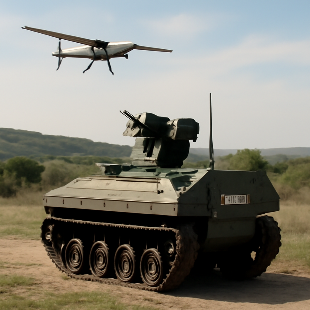
Inertial measurement units — devices that combine accelerometers and gyroscopes to measure motion and orientation — supply the foundational data that lets commanders, weapons, sensors, and autonomous systems know where they are and what direction they face. Picture three battlefield vignettes: a ground convoy navigating through GPS-denied terrain, a precision-guided munition finishing a course after satellite signals drop out, and an unmanned aircraft fusing optical and radar inputs to locate an enemy emplacement. In each case, the IMU provides the inertial backbone that keeps position and attitude estimates coherent until external fixes, such as GNSS, return.
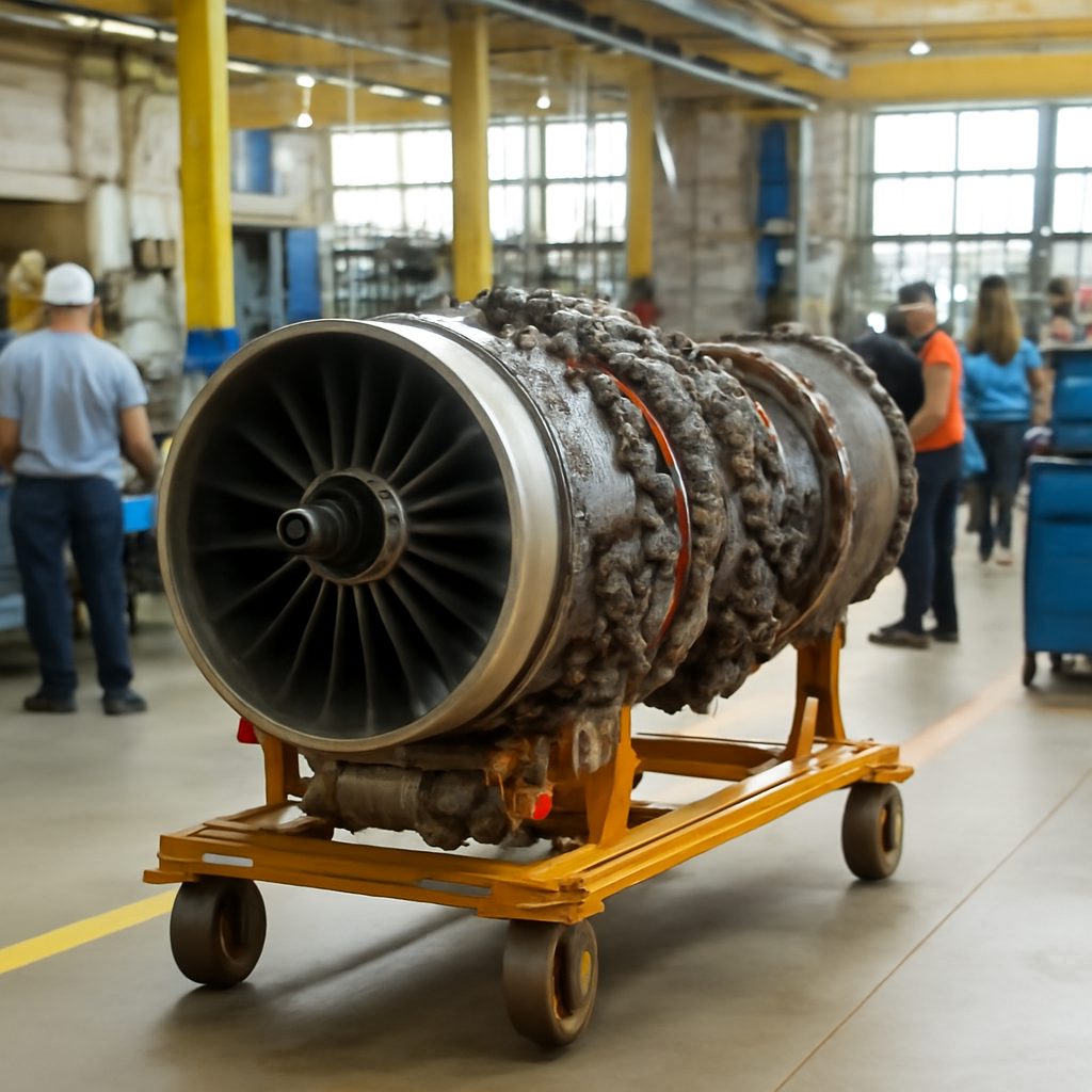
Not all inertial measurement units are created equal. At one extreme are tiny, low-cost MEMS devices found in consumer gadgets and many tactical systems; at the other are navigation- and tactical-grade IMUs that use fiber-optic or ring-laser gyros and offer far lower drift and greater resilience. The tradeoffs are well known: cost, size, power consumption, and accuracy. Modern military architectures therefore deploy IMUs in tiers — inexpensive units where acceptable and higher-grade devices where mission failure is intolerable.
Why deploy 300K IMUs? Several practical forces drive that trend:
– PNT as a sensor multiplier: Cameras, radars, LiDAR, and electronic-intelligence systems all need accurate timing and position to fuse outputs effectively. Without reliable PNT, multi-sensor fusion degrades rapidly.
– Space vulnerability: Conflicts in the past decade highlighted how susceptible space-based navigation is to jamming, spoofing, and kinetic threats, pushing investment into terrestrial and onboard resilience.
– Autonomous proliferation: The rise of autonomous and semi-autonomous systems — from loitering munitions to logistics robots — requires persistent internal navigation when external signals disappear.
How IMUs are used on today’s battlefield can be summarized simply:
– Vehicle navigation and convoy control
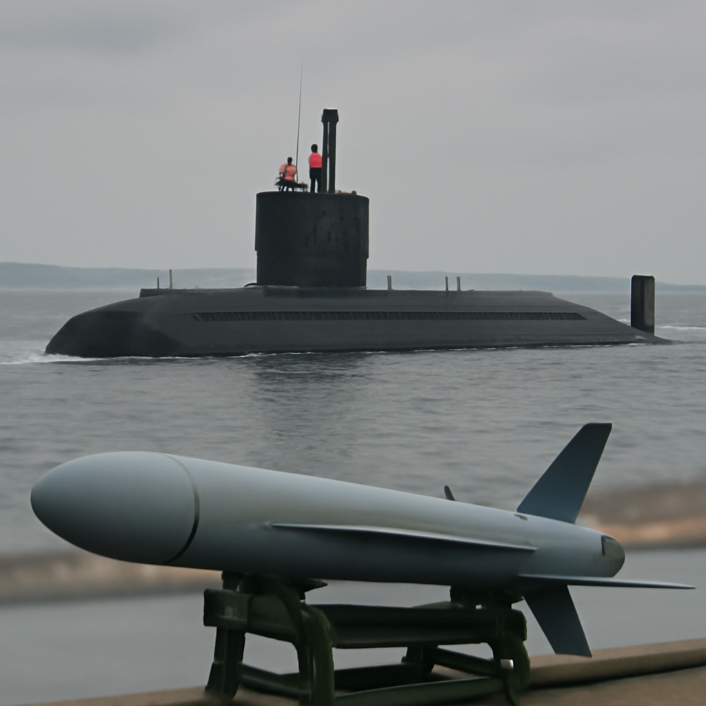
– Guidance and control for missiles, bombs, and drones
– Stabilization and aiming for guns and sensors
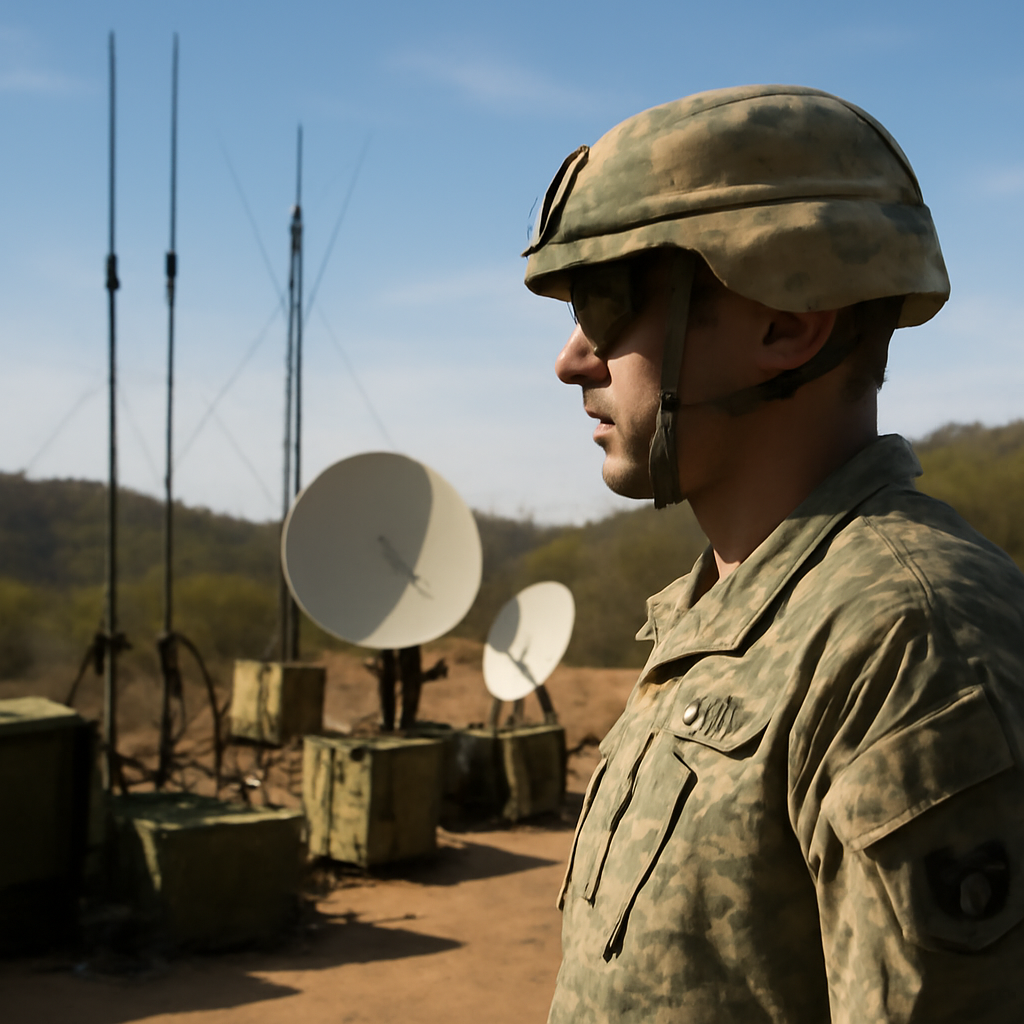
– Time synchronization for distributed sensor networks
– Dead-reckoning where GNSS is denied or degraded
The mathematics behind IMUs is straightforward; the practical problems are much harder. All inertial systems drift: tiny sensor errors integrate into growing position and heading errors. To manage drift, military platforms “tightly couple” IMUs with GNSS and other aids — magnetometers, terrain-matching, visual odometry, and signals-of-opportunity — so each sensor can compensate for others’ weaknesses. This sensor-fusion approach shifts much of the capability burden into software, algorithms, and edge computing, making computing power and code quality as important as the hardware itself.
Two technological trends stand out. First, MEMS performance is rapidly improving: smaller, cheaper accelerometers and gyros are narrowing the gap to tactical-grade performance. Second, edge computing and AI enable more sophisticated fusion and real-time anomaly detection on the platform — allowing systems to detect GNSS spoofing or internal IMU faults and to mitigate them before they cascade into mission failure.
Policymakers approach the issue from a different angle. Resilient PNT is a national-security imperative because modern forces — and critical civilian infrastructure — depend heavily on GNSS. That reality is pushing the Department of Defense and allied governments to fund redundant, hardened PNT solutions, diversify suppliers, and stress-test systems under contested conditions. Procurement decisions increasingly factor not just performance and cost but also supply-chain trust and the ability to sustain production under duress.
For end users — soldiers, pilots, and sailors — the priorities are straightforward: reliability and simplicity. A soldier on patrol needs navigation that doesn’t require constant calibration; a drone operator needs a guidance package that keeps loitering munitions on target after a jamming event. Field maintenance, straightforward calibration procedures, and realistic training therefore matter as much as any spec-sheet capability.
Adversaries treat IMUs and resilient PNT as both a challenge and an opportunity. Kinetic attacks on satellites, sophisticated electronic warfare, and GNSS spoofing are tools to deny an opponent easy navigation. Simultaneously, wider access to capable IMUs lowers the bar for autonomy among state and nonstate actors, complicating deterrence and escalation calculations.
There are risks to manage. High-grade sensor supply-chain concentration creates single points of failure. Software complexity in sensor fusion expands the attack surface for cyber or firmware compromise. And transitioning from legacy systems to modern, interconnected architectures introduces interoperability and certification hurdles that can slow fielding.
Still, embedding hundreds of thousands of inertial measurement units across platforms is a rational adaptation to twenty-first-century battlefields: redundancy where single points of failure once existed, and distributed intelligence where centralized services are vulnerable. IMUs do not replace GNSS; they complement it, keep navigation available when satellites flicker, and buy commanders time to adapt and reconfigure.
As adversaries develop more methods to blind or deceive space and radio-based navigation, the question becomes operational and institutional: when the sky darkens, will forces with hundreds of thousands of IMUs be ready to navigate the fog of war — and will procurement, training, and maintenance systems be prepared to sustain them? The answer will shape not only tactical outcomes but the strategic character of next-generation conflict.