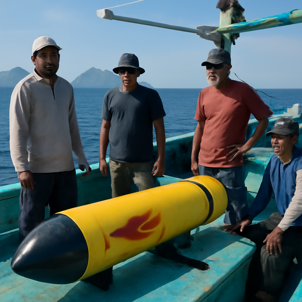
On 6 April, fishers found a 3.7‑metre, torpedo‑shaped device north of Gili Trawangan in the Lombok Strait.
April recoveries: three torpedo‑shaped and elongated devices
Indonesian fishers recovered three unidentified underwater objects from national waters in April. The 6 April find was a 3.7‑metre, torpedo‑shaped device bearing the logo of the China Shipbuilding Industry Corporation and located north of Gili Trawangan in the Lombok Strait. A little over a week later, fishers recovered a blue, elongated object near the Tanakeke Islands off South Sulawesi, between the Lombok and Makassar straits. On 20 April a yellow torpedo‑shaped device roughly two metres long was found off Kangean Island, just north of the Lombok Strait. Indonesian government investigations into these latest finds remain ongoing.
Earlier 2020 finds and a clear geographic pattern
The April discoveries are not isolated. In January 2020 a Chinese Sea Wing underwater glider was recovered near the Masalembu Islands, a little west of the direct line between the straits, and another was found near Selayar Island to the east of that line in December 2020. All of these recoveries were close to or in Indonesia’s Archipelagic Sea Lane II — the corridor that connects the Indian and Pacific oceans through the Makassar and Lombok straits — suggesting a repeated pattern of objects appearing along or near that route.

The cyber insurance questionnaire just landed. Now what?
SOC 2, HIPAA, insurance renewals - someone has to own security strategy. Nubivance provides fractional CISO leadership without the full-time salary.
Get a security leadWhy the Lombok and Makassar straits matter for submerged transit
The significance of these finds lies in geography as much as in hardware. The Lombok Strait’s depth of more than 250 metres makes it one of the few passages in the region suitable for submerged transit. The Makassar Strait extends that deep corridor northwards toward the Celebes Sea and the Western Pacific with sufficient depth for underwater movement. Together, the two straits form a viable deep‑water corridor between the Indian and Pacific oceans. The straits are also narrow: the Lombok Strait is only around 40 km wide at its broadest point, a limited area in which detailed observation is more practicable than in the open ocean or the broader South China Sea.
What the recovered objects could be measuring and why that matters
The pattern and locations of the recoveries point to a likely operational goal: collecting sustained oceanographic data. A better understanding of the shape of the seafloor can help a commanding officer decide how fast a submarine can safely move. Salinity variations can cause a submarine to suddenly rise or sink, so knowing where and when those variations occur helps navigation. Currents are similarly important. Temperature changes affect sonar performance; the nature of the seafloor affects where and whether mines can be laid. Gathering these data reliably requires sustained observation over time, a task well suited to long‑endurance underwater drones or static seabed sensors. Uncrewed underwater objects are difficult to detect: they are small, powered by batteries and make little or no noise — traits that, combined with their increasing proliferation, make them well suited to persistent data collection.
What this means for policymakers, naval planners, and fishers
- Policymakers: Indonesia faces a legal and diplomatic constraint. The source notes that international rules governing uncrewed submerged transit through designated archipelagic sea lanes remain unsettled, a factor that may complicate decisive state response.
- Naval planners and operational commanders: The recurrence of objects near Archipelagic Sea Lane II suggests sustained interest in oceanographic conditions there; planners will note the value of bathymetry, salinity, temperature and current data for submerged navigation, sonar performance and mine risk.
- Fishers and coastal communities: Fishers have been the first to find these devices — their recoveries in April and in 2020 underline their role as on‑the‑water sentinels likely to encounter more such objects in narrow Indonesian waterways.
The pattern is unmistakable: deep, narrow corridors that link two oceans are attractive places to measure the underwater environment, and the April recoveries join earlier 2020 finds to form a consistent geographic picture. Indonesian authorities have opened investigations, but—even without judging intent—the combination of strategic geography, oceanographic hazards such as internal solitary waves, and the small, quiet nature of modern uncrewed systems means more such discoveries are likely. How Indonesia and the wider international community respond to objects transiting or operating in designated archipelagic sea lanes will be a practical test of unsettled rules and a measure of how states manage persistent undersea observation in constricted waters.