"a gold mine," the British government called it — and yet the data that is feeding modern defences now lacks a certificate of quality.
Avengers AI Labs and Britain's access
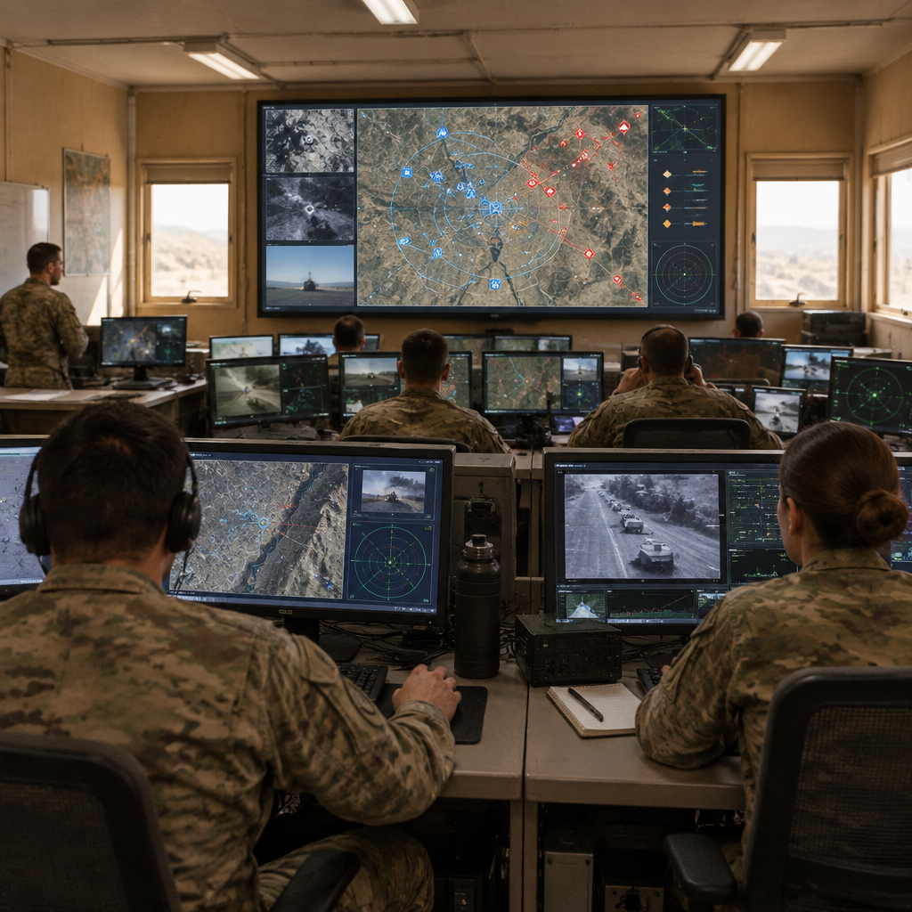
In August, Britain became the first foreign country to gain access to Ukraine’s Avengers AI Labs, a platform the source describes as collecting data from "thousands of cameras and infrared sensors." The platform is already treated as a sellable asset: Ukraine sells datasets whose pixels can look clean, but whose context — the electromagnetic and operational conditions in which they were recorded — is not carried with the frames.
1,735 instances of satellite-navigation interference in four days
The Iran war exposed a pervasive problem in the Gulf. In the first four days of the conflict, 1,735 instances of satellite-navigation interference were recorded across the region. The interference produced concrete anomalies: cargo vessels were falsely positioned at airports, at a nuclear power plant and elsewhere on land. Marine insurer Skuld advised that satellite-navigation interference had become "a persistent operating condition."
Aviation systems were affected too: Opsgroup reported flights losing GPS entirely while arriving at and departing Gulf airports, and that air traffic control was routinely substituting runway-heading departures and radar vectors for satellite-based navigation.

This site is the portfolio.
OSINTSights runs on Cloudflare Workers, D1, R2, and Vectorize, with an AI pipeline on Hetzner ARM. Nubivance designed, built, and operates it. We do the same for clients.
See what we buildElectromagnetic warfare, jamming and deceptive signals
Jamming and spoofing do not corrupt pixels, the source notes, but they break timing and position. Multi-sensor fusion — the process that aligns radar, electro-optical, infrared and radio-frequency tracks by a common time reference — inherits timing errors when satellite-derived timing degrades. The imagery can look intact while its metadata and cross-sensor alignment are compromised. The source documents a history: warnings about GPS interference in the Gulf date to 2019, Iran demonstrated capability at national scale during anti-government protests before the war, and, since October 2023, Israel’s military has admitted to disrupting navigation signals — an activity interpreted by experts as fooling GPS receivers for hundreds of kilometres.
Data-centre attacks in the UAE and Bahrain
The battlefield assault on data was not limited to the electromagnetic spectrum. Iran attacked at least three data centres in the United Arab Emirates and Bahrain. Those attacks forced breaks in data custody: records may have been moved under fire, switched to backups, or restored while systems were compromised. Even if files survived, provenance — the assurance of where, when and how a record was recorded and preserved — becomes doubtful.
Autonomous interceptors and missing engagement records (the Merops case)
The more defences rely on autonomous systems, the less complete the engagement record. The US Army sent about 10,000 Merops interceptor drones to the Middle East; Merops can prosecute targets autonomously. A conventional air-defence engagement typically leaves a trail of data with the ground fire-control system, but an autonomous interceptor operating without a live link does not stream engagement telemetry back to a central recorder. The surviving record depends on what the airframe retains — if it is recovered at all (and an interceptor that hits cannot be).
What this means for Skuld, the US Army, and Britain/Ukraine
- Skuld: the insurer has already characterised satellite-navigation interference as "a persistent operating condition," a judgement that feeds directly into underwriting and risk assessments for maritime and aviation exposure in the Gulf.
- The US Army: deploying roughly 10,000 autonomous Merops raises a provenance problem for after-action data; planners must reckon with engagements that leave no central trail and with datasets that may be incomplete by design.
- Britain and Ukraine: Britain now holds Avengers datasets described as "a gold mine," but the frames do not carry metadata about defensive jamming, decoy ratios or other contamination; purchasers of battlefield datasets face training risk unless provenance is measured and disclosed.
The assay remedy: a Contested Provenance Standard
The proposed remedy is technical and international: an assay — a Contested Provenance Standard for battlefield datasets. The standard would specify what a battlefield dataset must contain to be assayable. Required fields should include presentation fields (tracking decoy assessment for the field of view and the engagement’s wave structure: single, salvo, attritional) and environment fields (active friendly emitters; bands, power and duration; known or suspected adversary interference; and satellite-navigation integrity as assessed by the recording platform).
Without an assay, battlefield data has volume and a price but no certified measure of contamination: nothing that states what fraction of examples were induced by spoofing, degraded by friendly jamming, reset or restored under duress, or absent because an interceptor acted autonomously.
Those are not theoretical defects. The Iran war produced the largest concentration of maritime satellite-navigation interference yet documented, damage to data centres in the UAE and Bahrain, and widespread autonomous interception — conditions in which parts of the observable environment can credibly be assessed as manipulated, corrupted or missing. An international effort to define an assay standard would convert battlefield data from an ungraded commodity into an attestable input for training the models and systems that depend on it.
https://www.aspistrategist.org.au/the-assay-problem-battlefield-data-after-the-2026-iran-war/