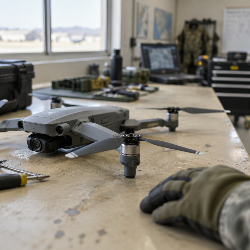
"The current environment has taught us that GPS is the first thing that gets canned on the battle space," William Shuart, a program manager for the Army’s Pathfinder3D program, told Army magazine in January.
TERN's Independently Derived Positioning System (IDPS) meets Swarmbotics AI's FireAnt
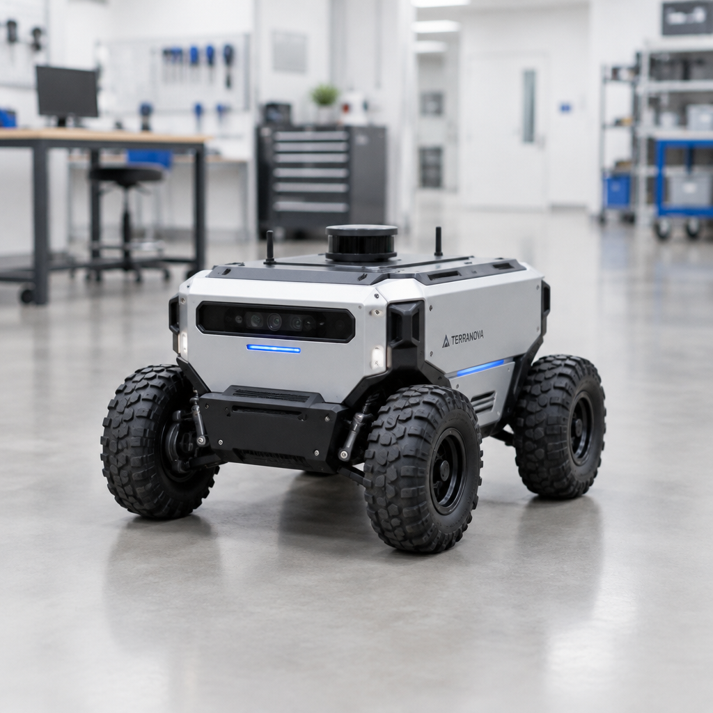
Two startups have shown how GPS-free navigation can be shoehorned into small, wheeled ground robots. Swarmbotics AI, which the companies say makes 100-pound autonomous robots, integrated TERN’s navigation package into its four-wheeled FireAnts — platforms that fit roughly into a two-foot cube. The teams accomplished the integration in under a week, a speed Drew Watson, co-founder and CTO of Swarmbotics AI, described as “really impressive.”
How TERN's IDPS produces latitude and longitude without satellites
TERN’s Independently Derived Positioning System (IDPS) blends a vehicle’s internal sensors and onboard map data rather than relying on signals from space. As Shaun Moore, co-founder and CEO of TERN, explained, IDPS uses inputs including “wheel speed, steering angle, and 3D motion data.” Through processing that successive motion, Moore said, the system is “able to output latitude and longitude at the same rate that GPS could, or twice a second.”

This site is the portfolio.
OSINTSights runs on Cloudflare Workers, D1, R2, and Vectorize, with an AI pipeline on Hetzner ARM. Nubivance designed, built, and operates it. We do the same for clients.
See what we buildThe Army's stated need and current navigation workstreams
The Army has sought alternatives to satellite-based navigation because of vulnerabilities to spoofing and jamming. The source reports the service is fielding jam-resistant GPS cards for munitions and is developing ALTNAV, which uses a different satellite constellation. Still, for a proposed robot-forward ground force the Army needs a position-navigation-timing capability that “can get by without a satellite signal at all,” the article says — a gap the joint startup work aims to address. Both companies have already drawn Army attention: TERN received an $11.26 million contract in September, and both firms have participated in the service’s Operation Jailbreak tech demonstrations.
Swarm coordination: mesh networks and automatic target recognition
Integration to this point delivered local, GPS-like positioning on individual FireAnts; the teams say the next stage is sharing that position data across a swarm. Watson described that sharing as “a building block to something else” and outlined the intended effect: if each robot knows its own position and that of its neighbors, that positional data can augment other sensors. Watson illustrated a tactical application: “each one of these FireAnts is giving a line of bearing to an enemy tank, for instance. Those are triangulated into a position of that enemy tank via multiple firings. The quality of that identification, the position of that enemy tank, is based on the position of the firings…It improves the automatic target recognition.”
What this means for technologists, procurement leaders, and the Army
- Technologists and security teams: TERN’s IDPS shows a concrete path to producing continuous latitude/longitude outputs using inertial and vehicle-motion inputs alone — at “the same rate that GPS could, or twice a second,” per Moore. Those teams will watch how well vehicle-derived positioning holds up over time and terrain, and how mesh-shared fixes affect sensor fusion for target identification, as Watson described.
- Procurement leaders: The Army’s $11.26 million contract to TERN in September and the firms’ participation in Operation Jailbreak signal tangible acquisition interest. Procurement planners will weigh whether rapid, small-form integrations — completed “in less than a week” according to Watson — can be transitioned from demonstration to fielded programs alongside existing efforts such as jam-resistant GPS cards and ALTNAV.
- The Army as an operational user: The service’s stated need for a “position-navigation-timing system that can get by without a satellite signal at all” frames the operational bar. The combined work of Swarmbotics AI and TERN points to one approach for robotic units that must operate when GPS is degraded or denied, and the Army will likely continue to test how such systems perform in contested environments.
Next up for the teams is the practical step Watson flagged: sharing position data across a mesh network and moving “toward coordinated swarm maneuvering.” The demonstration to date shows a compact, GPS-free positioning stack aboard a two-foot-cube robot that can produce lat/long outputs at a GPS-like cadence; whether those outputs and their downstream use in triangulation and automatic target recognition will scale from demonstrations to operational units remains the concrete question these companies and the Army are now pursuing.
Source: Defense One — "Can inertial navigation make ground-robot swarms real?"