"Maritime surveillance has become Southeast Asia’s critical capability gap."
Why the surveillance gap matters for littoral states
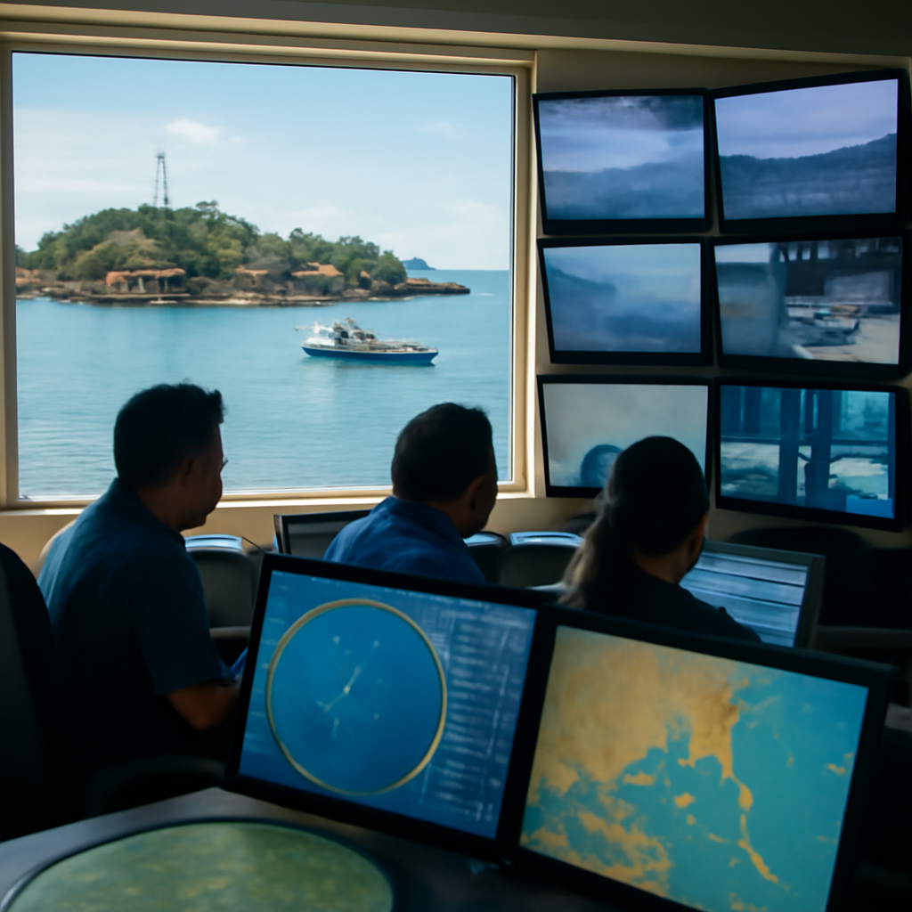
For countries bordering the South China Sea and the archipelagic states across the region, the problem is one of information: who can see first, understand what they are seeing, and act first. The region hosts some of the world’s busiest sea lanes — the Strait of Malacca alone carries roughly one-third of global trade — and routine challenges range from illegal, unreported and unregulated fishing to piracy, smuggling, trafficking and grey-zone coercion. Maritime accidents and climate-related disasters add urgency: faster situational awareness shortens response times for humanitarian assistance and disaster relief.
How orbital sensors and onboard AI work together
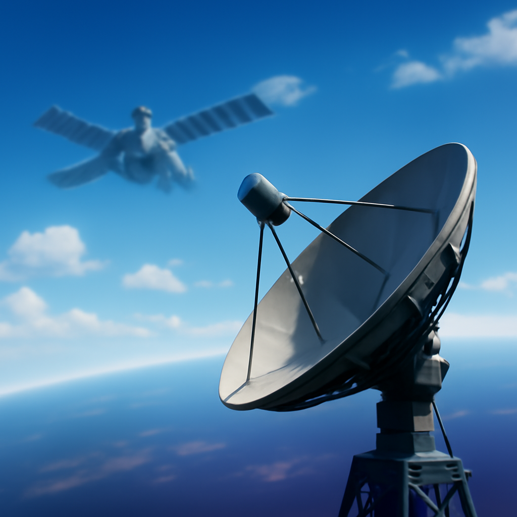
Space AI, as the source frames it, is the integration of orbital Earth-observation systems with artificial-intelligence enabled analytics. It fuses synthetic aperture radar, optical imagery, ship transponder messages, radio‑frequency signal detection and weather data into a single operational picture. Crucially, the distinguishing capability is what AI can do at the point of collection: satellites can now run onboard AI to detect ships and transmit only relevant information to the ground, reducing the need to downlink and manually analyse thousands of images.

Audit-ready is a season. It shouldn't be.
Evidence in spreadsheets, controls drifting between audits, frameworks multiplying on flat headcount. Nubivance runs continuous compliance on Rapid7 Cyber GRC - SOC 2, HIPAA, ISO 27001, PCI, CMMC.
End the scrambleOperational advantages over ships, aircraft and coastal radar
Traditional platforms have intrinsic limits. Patrol vessels cannot maintain persistent awareness across vast maritime spaces, aircraft must return to base, and coastal radar cannot cover the expanse of the South China Sea or the Sulu and Celebes seas. Space AI extends persistent monitoring far beyond the reach of those assets, enabling detection of suspicious behaviour, identification of ships operating with disabled transponders, and automated prioritisation of anomalies for human operators. The result, the source argues, is not a replacement for navies or coast guards but a force-multiplier that allows limited sea and air assets to be deployed more effectively.
Strategic consequences: national satellites, commercial dependency, and competition
Access to satellites, cloud computing and AI-enabled geospatial analysis is becoming a component of maritime power. As China and India expand their space-based maritime capabilities, many Southeast Asian countries still depend on commercial providers or external partners for imagery and processing. The source highlights that nationally owned and operated satellites can reduce reliance on commercial providers and foreign-controlled space capabilities, mitigate single-provider risks, and insulate surveillance from geopolitical pressures, commercial priorities and technology restrictions. Such national capability also supports information sharing initiatives independent of extra-regional partners such as the US and the European Union.
What this means for Indonesia, Malaysia, the Philippines, and Singapore’s Information Fusion Centre
- Indonesia, with one of the world’s largest archipelagos, will find persistent satellite monitoring a cost‑effective way to widen surveillance without matching larger naval fleets ship for ship.
- Malaysia and the Philippines, which face porous maritime borders in the Sulu and Celebes seas, can use AI-enabled orbital imagery to detect and prioritise incidents that require on-the-water response.
- Singapore’s Information Fusion Centre has demonstrated the value of multinational information sharing; integrating AI-enabled satellite analytics into that platform would strengthen collective maritime awareness and help less capable member states avoid duplicating capital‑intensive coastal radar and patrol efforts.
Governance, cybersecurity and responsible use
Technology alone will not close the gap. The source stresses the need for common approaches to data sharing, cybersecurity, AI audits and responsible use of AI in maritime operations. Trusted governance, it argues, will be as important as trusted technology in building a shared maritime awareness network across Southeast Asia.
“The issue is no longer who fields the largest fleet but who can generate the clearest operational picture the fastest.” For Southeast Asia, preserving a stable, rules‑based maritime order will depend on how effectively the region connects satellites, artificial intelligence and regional cooperation into that shared picture.