“If you are an emergency manager living anywhere that has a hurricane season you need to consider something of this nature.” — Rod Low, TA GIS Administrator, Honolulu Land Information System, Department of Planning and Permitting, City and County of Honolulu.
Hawaii’s March floods and the operational blind spots they exposed
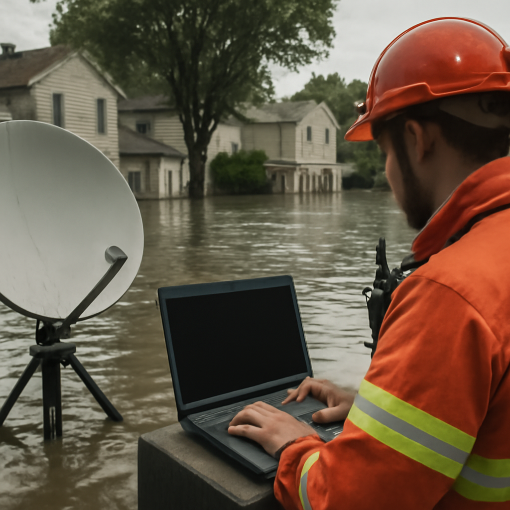
In March of this year, Hawaii experienced what satellite data showed was the most extensive multi-island flooding recorded in the state in recent years. Back-to-back storms and prolonged rainfall inundated residential communities and key transportation routes, and the scale and duration of the event highlighted a range of operational failures that responders encountered in real time.
Mike Bennett, Head of Government Solutions, North America at ICEYE, summarized several of those failures: much of the flooding occurred overnight when visibility was low; some river and stream gauges were damaged or washed away during peak conditions; and communication infrastructure was impacted, limiting the ability to transmit data in real time. Traditional aerial assessments were also ineffective because aircraft and helicopters cannot see through cloud cover and are limited at night.
Why synthetic aperture radar (SAR) matters: ICEYE’s persistent monitoring
Space-based Synthetic Aperture Radar (SAR) systems can observe Earth regardless of weather or lighting, and commercial SAR constellations can be tasked in near real time to provide continuous monitoring. ICEYE, which operates what the company describes as the world’s largest and most advanced SAR satellite constellation, provided imagery that was the first remotely sensed data available for the Hawaii event because SAR is cloud-penetrating.
According to ICEYE in discussion with Government Technology Insider, that SAR imagery was used to delineate inundation extent, support debris cleanup planning, and coordinate damage assessment teams. The company’s flood estimates for impacted structures supplied context about where damage would be most severe.
Flood Rapid Impact (FRI): fast, observational flood intelligence
ICEYE released a machine learning-powered tool called Flood Rapid Impact Product (FRI) last year. FRI delivers detailed floodwater extent based on observational data within approximately six hours of the first signs of an event. Mike Bennett framed FRI as a means to provide a new level of actionable flood intelligence — fast enough for immediate decision-making and integration into government data platforms and emergency operations center systems.
Rod Low described the result succinctly: “the flood product definitely punches above its weight,” crediting SAR-derived estimates with timeliness and the ability to inform where to allocate teams and cleanup resources.
Pre-disaster contracts, subscriptions, and the procurement gap
Bennett emphasized that the real preparedness problem is less the technology itself than how agencies contract for and onboard it. He advised that pre-disaster contracts and existing subscriptions allow agencies to access data immediately in an emergency, eliminating delays tied to procurement, onboarding, and training. Agencies already onboarded can move faster and respond more effectively, he said.
The broader point: the United States has invested heavily in flood sensors, gauges, and modeling systems, but monitoring every location remains challenging. The combination of damaged ground sensors, degraded communications, and weather that blots out aerial assets creates a window where space-based SAR can be decisive — if the contractual and operational arrangements are already in place.
What this means for emergency managers, procurement leaders, and technologists
- Emergency managers: Expect actionable situational awareness during windows when ground systems and aircraft are ineffective. SAR-derived flood extent and depth data can help prioritize rescues, allocate resources, and guide damage-assessment teams overnight or through cloud cover.
- Procurement leaders and agencies: Pre-disaster subscriptions and onboarding with commercial providers shorten the time from event onset to usable intelligence. Bennett framed this as removing procurement delay and ensuring agencies “are already onboarded with technology providers.”
- Technologists and GIS teams: Integrating observational SAR products like FRI with existing government platforms and emergency operations centers is central to turning imagery into operational decisions. ICEYE stresses that the challenge is not just data access but the ability to interpret it quickly amid growing volumes of satellite collections.
The central lesson from Hawaii’s floods is plain in the source material: the gap between what modern satellite technology can deliver and what most state agencies have contracted for is itself a preparedness failure. As disasters grow more frequent and severe — Bennett noted that events once seen as 100- or 500-year occurrences are repeating, and he cited “Hurricane Melissa in 2025” as an example of high-end storm intensity — the practical choice for jurisdictions is whether to close that gap before the next event or try to do so while operations are already compromised.