When does a maritime restriction become a blockade? That is the central question raised by a report this week: The War Zone says the United States has put maritime restrictions along the entire Iranian coastline — not only in the Strait of Hormuz. If that reporting is accurate, the geographic scope of U.S. action is far broader than the narrow chokepoint most often discussed in headlines.
What The War Zone reported
According to a post that appeared on The War Zone, maritime restrictions have been put in place by the U.S. along the entire Iranian coastline, not just the Strait of Hormuz. The post carried the headline Naval Blockade Of Iran Now In Full Effect and framed the development as a nationwide maritime measure rather than one limited to a single strategic bottleneck.
What the report means, in plain terms
The distinction the report draws — between restrictions confined to the Strait of Hormuz and measures covering Iran’s whole coast — is more than semantic. On its face, a maritime posture that extends along an entire coastline affects the operating environment for every vessel in the area, alters patrol and interdiction geometry, and changes the baseline for risk assessments conducted by ship operators, insurers, and foreign governments. The War Zone’s framing suggests a deliberate expansion of maritime control measures beyond the well-known chokepoint.
Why it matters: stakes and perspectives
- Policy and diplomacy: For policymakers, the breadth of any maritime restriction shapes negotiation leverage and diplomatic fallout. A measure limited to a narrow strait can be portrayed as targeting transit safety; one running along an entire coastline has broader implications for sovereignty, access, and regional maritime norms.
- Commercial and operational actors: Shipowners, insurers, and mariners must weigh route safety and cost. Broader restrictions can trigger rerouting, insurance surcharges, and operational delays even if they stop short of forbidding transit. Those downstream effects influence supply chains and commercial decision-making.
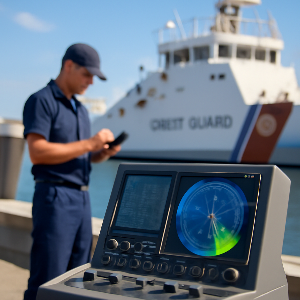
- Technologists and analysts: Those who track maritime activity will focus on surveillance data, vessel tracking, and signal intelligence to map how restrictions are enforced and where movements are concentrated. Changes in Automatic Identification System (AIS) patterns, for instance, would be an early indicator of shifting behavior.
- Adversaries and local actors: Any expansion of maritime measures can prompt countermeasures, either overt or covert. The interaction between a more expansive set of restrictions and the tactics of local actors will be a key determinant of escalation or de‑escalation in the waters concerned.
Questions to watch and a closing thought
The War Zone’s report raises several immediate questions: What specific types of maritime restrictions are in force? How are they being enforced? What legal and diplomatic mechanisms underpin them? And how will commercial operators and regional states respond in practice? The report’s core assertion — that U.S. measures now run along Iran’s entire coast rather than being confined to the Strait of Hormuz — reframes those questions and elevates the stakes for anyone with a stake in regional maritime stability.
When a nation expands maritime restrictions from a choke point to an entire coastline, every ship becomes part of the story. Who gets to navigate those waters, under what rules, and to what end — that is the dilemma now spotlighted by The War Zone’s reporting. How the answers emerge will shape not only immediate movements at sea but also the broader balance of risk in the region.
Source: https://www.twz.com/news-features/naval-blockade-of-iran-now-in-full-effect