Tag: satellite imagery
7 articles

NRO Boosts BlackSky Contract for AI-Optimized Satellite Imagery
The NRO is supercharging its partnership with BlackSky Technologies, pouring an 8-figure investment into AI-optimized satellite imagery to turbocharge America's intelligence edge. This fresh funding fuels the development of BlackSky's game-changing AROS satellites, blazing a trail for faster, smarter global monitoring.

SOCOM Taps SkyFi for Real-Time Satellite Imagery Prototype
SkyFi is revolutionizing real-time satellite imagery for warfighters with a cutting-edge prototype for SOCOM, delivering unclassified commercial imagery directly to mobile devices via a web-based platform. This innovative Sovereign Intelligence Platform connects users to a vast network of 150+ satellite providers, empowering them with actionable insights in the field.
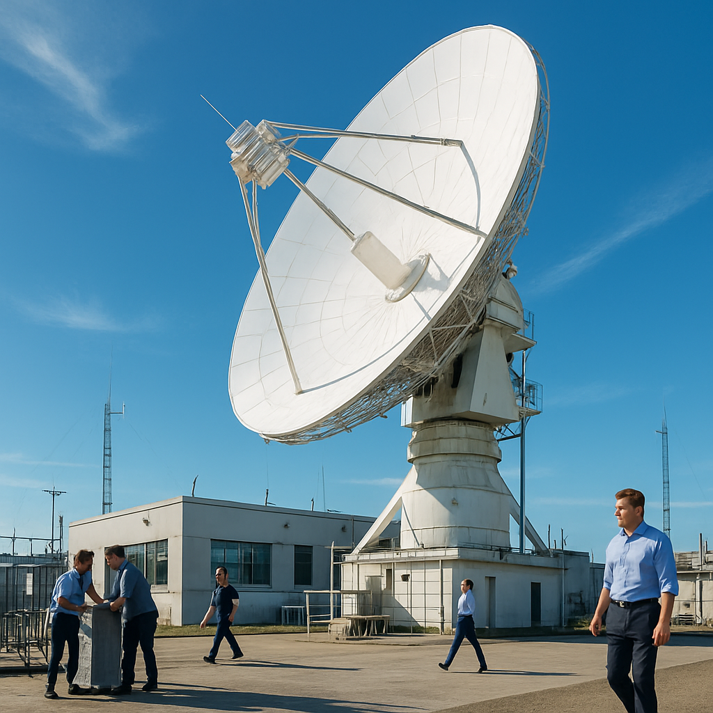
Cyber Resilience Becomes Imperative for GEOINT Firms
In today's digital landscape, cyber resilience has become a top priority for GEOINT firms, enabling them to operate seamlessly even when security controls fail. With their vast global reach and complex orbital infrastructure, these firms face a massive attack surface that spans satellites, ground stations, and cloud platforms.

NRO Expands Commercial Satellite Data Contracts
The National Reconnaissance Office is pushing the boundaries of commercial satellite data with three new contracts awarded to innovative providers, including Canadian startup Earth Daily, which will supply electro-optical imagery. This move is set to unlock new possibilities for data acquisition and growth over time.

Pakistan Accelerates Multi-Domain Defence Build-Up
Pakistan is rapidly bolstering its defence capabilities, with recent milestones including the launch of its fifth dedicated remote-sensing satellite and the commissioning of the advanced Hangor-class submarine, PNS/M Hangor, marking a return to long-endurance submarine operations. This strategic boost is set to significantly enhance the country's naval prowess.

Satellite Imagery Exposes Iran's Shadow Fleet Operations
New satellite imagery has uncovered the secretive operations of Iran's shadow fleet, revealing a complex web of hidden activities that traverse international waters. This groundbreaking visual evidence is just one piece of a larger strategic puzzle, where technology, finance, and transparency intersect to redefine security and commerce.

Satellite Imagery Firm Curtails Mideast Coverage Amid Iran War
A commercial satellite-imagery firm, Planet, has started withholding images of the Middle East, including Iran and nearby conflict zones, for a 14-day delay - raising questions about who gets to know what, and when. This private policy change has significant public implications, especially amid rising tensions in the region.