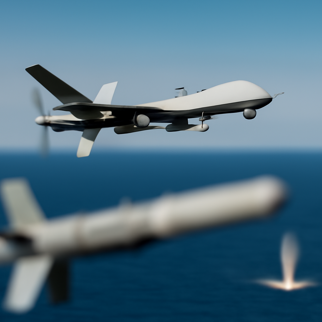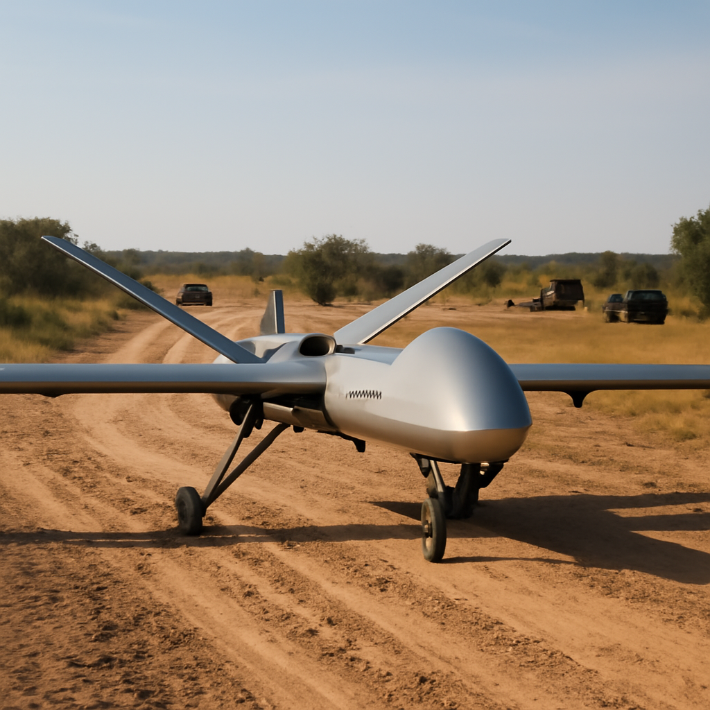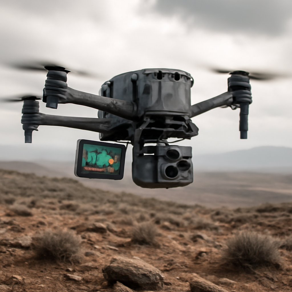
"3D mapping data helps drones determine their absolute position at all times, enabling them to navigate even when they can’t rely on GPS," Breaking Defense's Game Changer reported.
Adversaries' intense electronic warfare against GPS signals
The article starts from one clear premise: as drones increase in value for combat, logistics and support operations, adversaries are mounting "intense electronic warfare" aimed at contesting drones' ability to navigate using GPS signals. That contest is framed as a driver for change — forcing drone operators and their suppliers to reduce reliance on a single navigation source. The description is succinct but stark: GPS-based navigation can be contested, and that contest is already an operational consideration.
Vantor's 3D mapping data as an alternative
Breaking Defense highlights Vantor’s 3D mapping data as a concrete alternative. According to the piece, Vantor’s maps enable drones to determine their "absolute position at all times," a capability that, in the article’s words, allows drones to "navigate even when they can’t rely on GPS." The coverage presents the data product as a practical countermeasure that directly addresses the problem posed by electronic attack on GPS.

Audit-ready is a season. It shouldn't be.
Evidence in spreadsheets, controls drifting between audits, frameworks multiplying on flat headcount. Nubivance runs continuous compliance on Rapid7 Cyber GRC - SOC 2, HIPAA, ISO 27001, PCI, CMMC.
End the scrambleWhat 3D mapping buys drones operating in contested and denied environments
Viewed through the article’s lens, 3D mapping data converts an external signal dependency into an onboard reference: detailed three‑dimensional environmental information that a drone can use to locate itself without GPS. The result, as the article states, is the ability to "carry out their tasks in contested and denied environments." That framing links the technology not to abstract technical improvements but to concrete mission continuity — sustaining combat, logistics and support operations when GPS is degraded or unavailable.
What this means for technologists, procurement leaders, and operators
- Technologists and security teams: The article implies a shift in engineering priorities — integrating high-fidelity 3D mapping data into navigation stacks so drones can rely less on external signals. Teams will be asked to validate that mapping data supports "absolute position" determination under operational conditions.
- Procurement leaders and enterprise buyers: The piece positions Vantor’s mapping as a procurement option explicitly marketed for contested and denied environments. Buyers deciding between navigation approaches will be weighing whether embedded 3D mapping reduces mission risk when GPS is challenged.
- Operators and mission planners in combat, logistics and support operations: For those conducting missions, the article suggests that mapping-enabled navigation can preserve task execution even when GPS cannot be relied upon — a capability presented as operationally decisive in contested settings.
Availability and presentation
Breaking Defense packages this capability as part of a Game Changer feature focused on the problem and the solution. The article notes that the Game Changer is available for download and that there is "No registration needed" to access it, with a promotional line to "Download FREE Game Changer now." That distribution choice frames the content both as informational and as a vendor-facing outreach tool.
Conclusion: a single, specified countermeasure to GPS contestation
The record presented is compact and specific: adversaries are contesting GPS through intense electronic warfare; Vantor’s 3D mapping data is offered as a way for drones to determine absolute position at all times and thus navigate without GPS; the capability is pitched for use in contested and denied environments and is available through Breaking Defense’s Game Changer download. The piece leaves the reader with a clear, narrow proposition rather than a broad survey: when GPS is unreliable, 3D mapping data is the proposed route to keep drones flying and fulfilling combat, logistics and support roles.