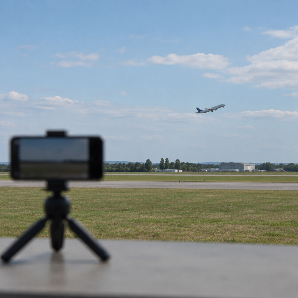
"This is fascinating," the blog post says — and then lays out a short, stark demonstration of how a faint sound in a video can become a geolocation lead. A video by Colsto, described in the post, shows how the Doppler-shifted thrum of a passing airplane can be converted into a Doppler curve and cross-referenced with public flight data to reveal where an otherwise unidentifiable recording was made.
Doppler curves: sound as motion data
The technique depends on a simple physical fact: moving sound sources change frequency for a stationary listener. The post explains that Doppler curves "plot the way a plane’s sound changes as it passes overhead because of the Doppler effect." The write-up echoes the familiar example: the pitch of a siren rises as it approaches and falls as it recedes. In a recording, a passing aircraft produces a similar signature — a time-varying frequency pattern that can be extracted from the audio waveform and rendered as a Doppler curve.
Colsto’s map and the role of publicly available flight data
Early in his video, Colsto "brings up a map of the flights that were in the air at the time the video he’s tracing was recorded." That mapping step relies on Automatic Dependent Surveillance–Broadcast (ADS-B), a system whose transmissions include aircraft position, velocity, and altitude. The post notes that "flight-tracking services collect and make available" this ADS-B information. While the entry cautions that "not every plane is tracked," it also emphasizes that ADS-B-based services provide "an enormous amount of information about aircraft movements."

Audit-ready is a season. It shouldn't be.
Evidence in spreadsheets, controls drifting between audits, frameworks multiplying on flat headcount. Nubivance runs continuous compliance on Rapid7 Cyber GRC - SOC 2, HIPAA, ISO 27001, PCI, CMMC.
End the scrambleFrom audio curve to a location: the implied workflow
The core method described is conceptually straightforward: extract the Doppler curve from a recording, then consult contemporaneous flight data to find aircraft whose movements could produce that curve. The post describes how the video author overlays a map of flights present at the recording time, using publicly available ADS-B-derived tracks. By comparing the time-varying frequency signature in the audio with the known positions, speeds, and altitudes of airborne aircraft, an analyst can narrow the set of candidate planes — and thereby narrow where the original recording may have been made.
What this means for technologists, policymakers, and the public
- Technologists and security teams: Audio contains forensic signals beyond human perception. The post demonstrates that Doppler analysis combined with ADS-B feeds can convert faint aircraft noise into an investigative lead; engineers and analysts will take note of how widely available flight data can augment audio-forensic toolkits.
- Policymakers and regulators: The post highlights that "much of this information is publicly available." That fact connects a simple technical analysis to policy choices about what flight information is distributed and how accessible it should be.
- End users and the general public: A casual recording that seems anonymous can carry unintended location metadata in its background noise. As the post puts it, the result is both "fascinating and frightening" — a reminder that ambient sounds can give away place and time.
Conclusion
The illustration on Schneier’s blog frames a narrow but potent idea: the Doppler effect, a physics classroom staple, can be a practical forensic tool when paired with publicly collected ADS-B flight tracks. Colsto’s video, as described, turns faint airplane sounds into a bridge between an audio clip and a map of aircraft movements — a capability the post calls "fascinating and frightening." Whether that duality will prompt technical countermeasures, policy discussions, or simply greater public awareness remains an open question rooted in the facts the post lays out.