In July 2025, Sydney-based quantum tech firm Q-CTRL ran the world’s first trial of advanced quantum navigation sensors aboard the government’s MV Sycamore — a test that, by the company’s and Defence’s account, worked continuously for more than 144 hours in real maritime conditions.
A test at sea: Q-CTRL aboard MV Sycamore
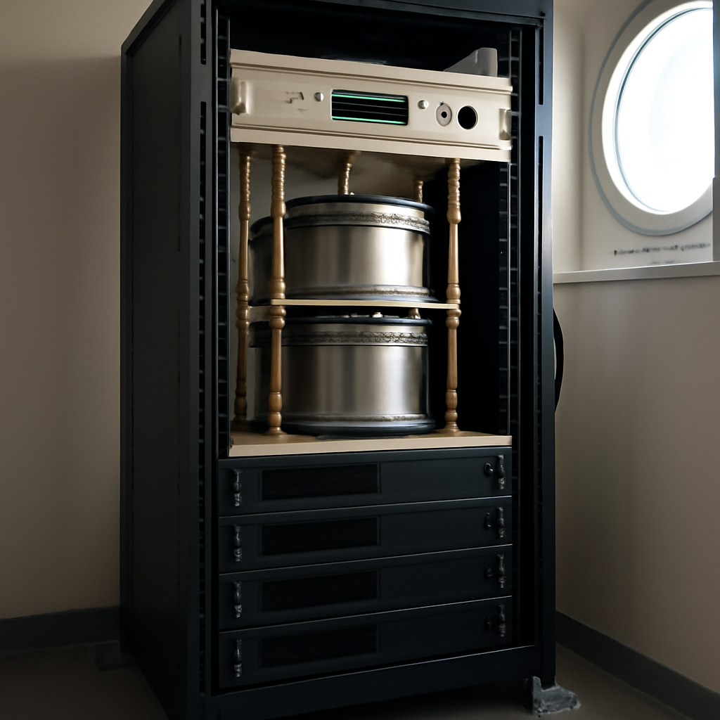
The trial placed a quantum dual gravimeter in a standard server rack in the ship’s communications room, bolted directly to the deck with no special vibration isolation. The sensors collected usable data without human intervention over six straight days, marking a notable transition from laboratory demonstrations to an operationally viable system. Q-CTRL’s software-driven approach to suppressing vibration and environmental interference was central to getting fragile quantum hardware to survive and function at sea; the software and fielding were developed within 14 months.
How quantum gravimetry corrects submerged navigation
Gravimeters measure tiny variations in Earth’s gravitational pull that arise because the seafloor is not uniform: trenches, ridges, dense rock and soft sediment each have distinctive gravitational signatures. Unlike aircraft or surface vessels, submarines cannot use GPS because the signal does not penetrate seawater. Submerged platforms have therefore relied on inertial navigation systems that accumulate error over time; correcting that drift has previously meant surfacing or raising an antenna, actions that expose a vessel to detection, jamming or interception.
Quantum gravimetry offers an alternative: record gravity while transiting an area to build a reference map, then use live gravimeter readings aboard a submerged vessel to compare against that map and fix position precisely. The process requires no transmission — “nothing to detect,” in the account presented here — and thus can recalibrate a submarine’s position while it remains fully submerged.
Australia’s comparative advantages: research, mining, and software ruggedisation
Australia’s progress rests on a combination of long-running research and field-tested sensor practice. The Defence Science and Technology Group, the Australian National University, Adelaide University, Swinburne University of Technology and the University of Sydney are cited as having provided decades of work in quantum sensing and precision measurement. Parallel experience in the mining sector — where gravimeters are already widely used for mineral exploration — has driven the development of rugged sensors that can operate in demanding field conditions.
Companies such as Q-CTRL and Nomad Atomics are translating mining-field experience into quantum sensors for defence applications. That translation, the reporting states, hinges on software-driven ruggedisation: making hardware that would otherwise be fragile tolerate vibration and environmental noise so it can leave the lab and function at sea.
China’s surveying, and the strategic value of maps
In early 2025, a Chinese naval task group completed a full circumnavigation of Australia. While much commentary described that movement as a show of force, the reporting suggests an alternative or additional explanation: systematic surveying and mapping to accumulate environmental data. When viewed through a gravimetry lens, sustained gravity measurement and detailed mapping become a long-term investment in environmental dominance — the data on which submerged navigation, detection and concealment all depend.
Maps of the seabed’s gravitational signature do not just support navigation for submarines; they compound advantages across naval systems by improving the positional accuracy of munitions, the effectiveness of surveillance, and the coordination of distributed manned and unmanned assets. For a state actively surveying seas, the value of a detailed gravity map can be strategic and persistent.
What this means for Defence, technologists, and allies
- Defence: Building operationally useful gravimetric maps requires continuous, fleet-scale collection and integration. Scaling successful trials into a deployable, fleet-wide capability will demand sustained investment and coordinated programs — the report identifies trilateral cooperation with the United States and Britain as important to reach scale.
- Technologists and security teams: The central technical hurdles are miniaturisation, sensor fusion (combining gravimetry with other navigation sensors) and producing sufficiently detailed operational maps. Q-CTRL’s approach highlights the leverage of software solutions to mitigate hardware fragility in noisy environments.
- Allies and adversaries: For partners with large naval fleets, the United States and Britain “bring critical strengths at scale.” For states investing in systematic surveying, accumulated environmental datasets can be a durable source of maritime leverage.
Quantum gravimetry remains an early-stage enabler: the Sycamore trial demonstrated that the sensors can work aboard a ship in real conditions, but moving from promising trials to a hardened, fleet-level capability will require technical advances and strategic coordination. If undersea warfare will increasingly be decided by the quality of the maps under the waves, then the quiet work of measuring the ocean may be where leverage — and vulnerability — is made.